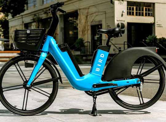
LOS ANGELES – Bird, a leader in environmentally friendly electric transportation, has announced an integration with Google Maps designed to provide easier access to shared electric vehicles for sustainable transportation and trip planning.
Starting today, users of Google Maps will have the ability to see the availability and location status of Bird e-scooters and e-bikes. The integration comes on the heels of Bird’s announcement of its intention to enter the public markets through a definitive agreement with Switchback II Corporation.
“As demand for sustainable transportation increases, Bird is committed to meeting this need while simultaneously reducing street traffic in already congested cities and towns,” said Travis VanderZanden, Bird founder and CEO. “Through our integration with Google Maps, we are making it easier for individuals to embrace new modes of eco-friendly travel and to ultimately eliminate our collective reliance on congestion inducing, gas-powered cars – especially in urban settings across the globe where a majority of trips are under five miles.”
People can find Bird e-scooters and e-bikes by planning a trip and tapping on Google Maps for directions that utilize bicycle and micromobility lanes. If an individual selects a Bird e-scooter or e-bike as their desired mode of transportation, Google Maps will direct them to the Bird app by tapping a prominently displayed “Unlock” button at the bottom of the screen. Riders who do not yet have the Bird app are prompted to install it to their device via the Apple App Store or Google Play Store